

7,700 earthquakes recorded between Santorini and Amorgos since January 26

More than 7,700 earthquakes in the Santorini-Amorgos zone have been detected by the Laboratory of Seismology of the National and Kapodistrian University of Athens (NKUA) from 26 January to 4 February.
As announced on Thursday by the Interdisciplinary Committee for Risk and Crisis Management of the NKUA, more than 1,300 earthquakes were recorded on February 4.
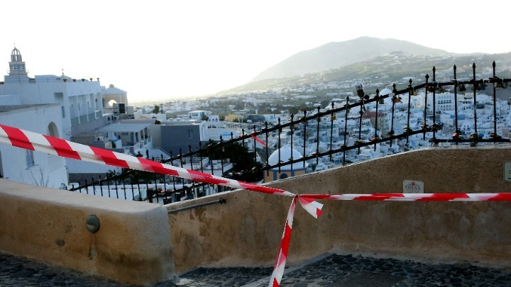
In Santorini and in the wider area, there is also a risk of landslides. As noted by NKUA, landslides "pose a serious threat to infrastructure, critical facilities, networks, human life, and the local economy, especially in areas of high traffic on the island and locations of critical infrastructure".
The caldera of Santorini has suffered landslides triggered by the seismic sequence that is evolving in the submarine area northeast of the island. From 27 January to date, limited landslides have already been recorded in various locations, such as Kokkini (Red) Beach, Vlychada Beach, Athinios port, Akra Alonaki, the Old Port of Fira, the area of Imerovigli (Skaros location), and other locations along the slopes of the caldera.
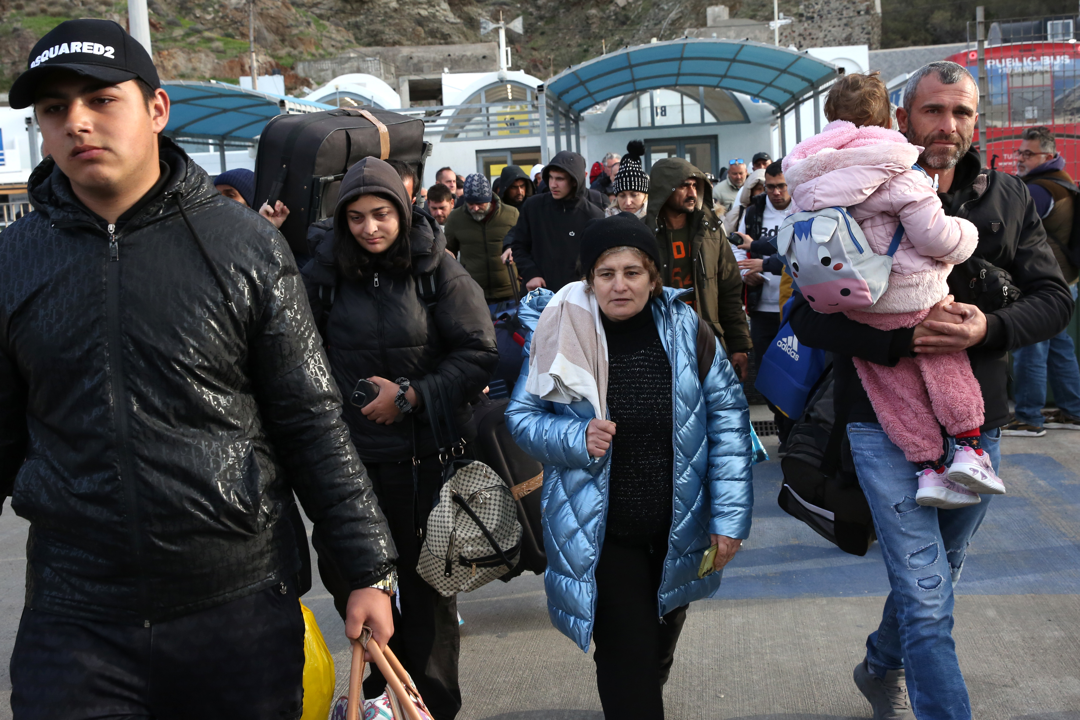
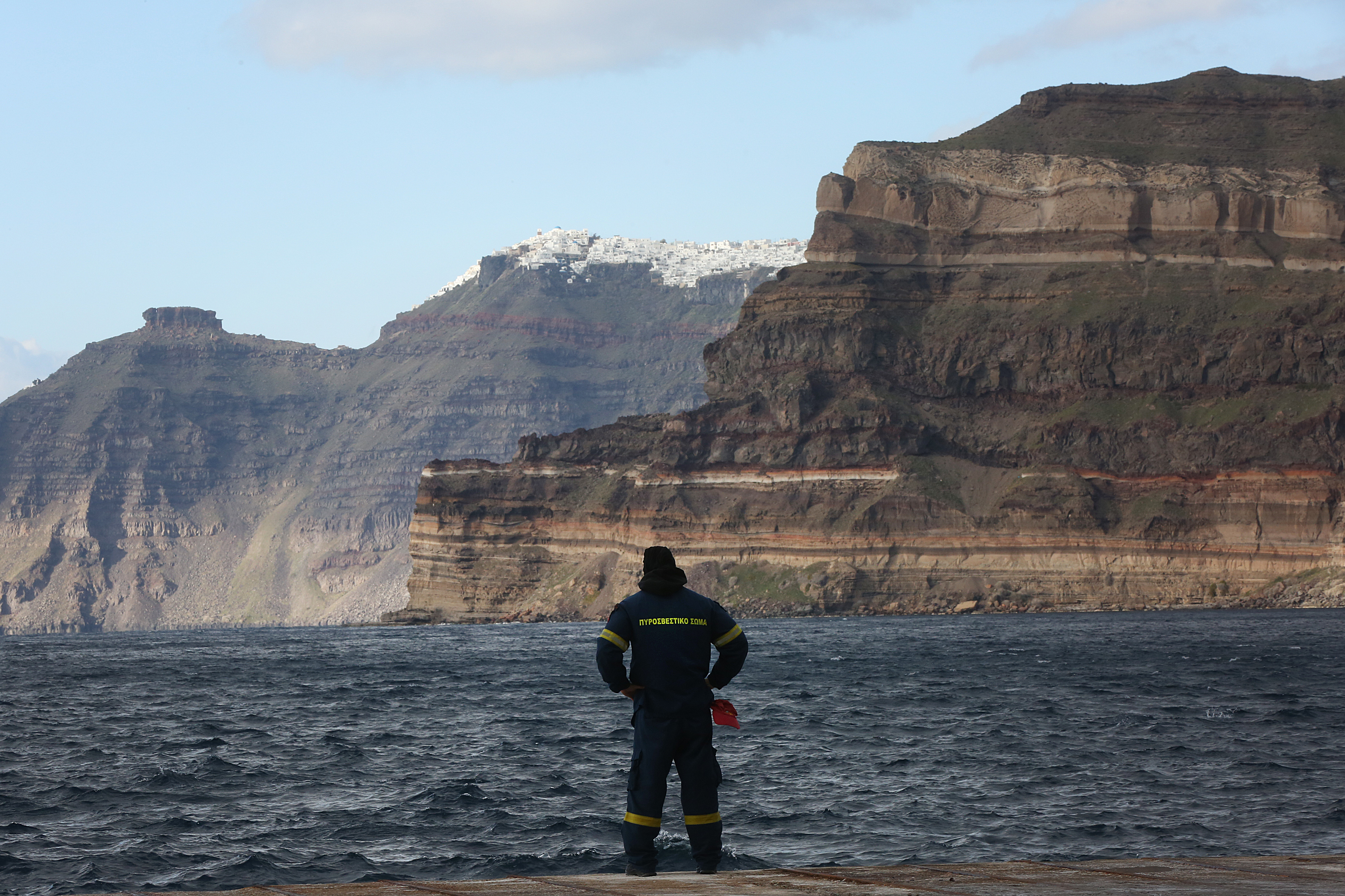
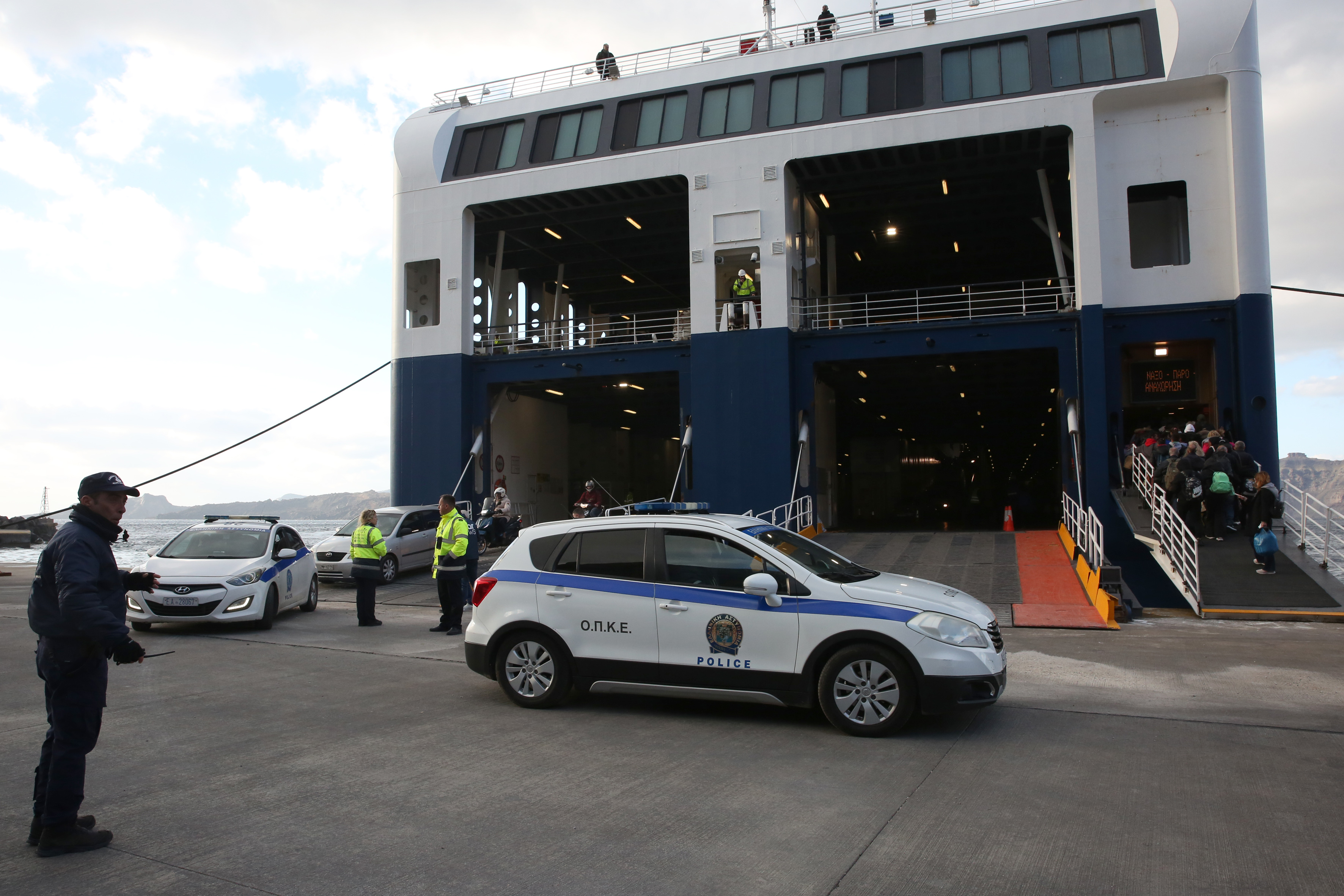
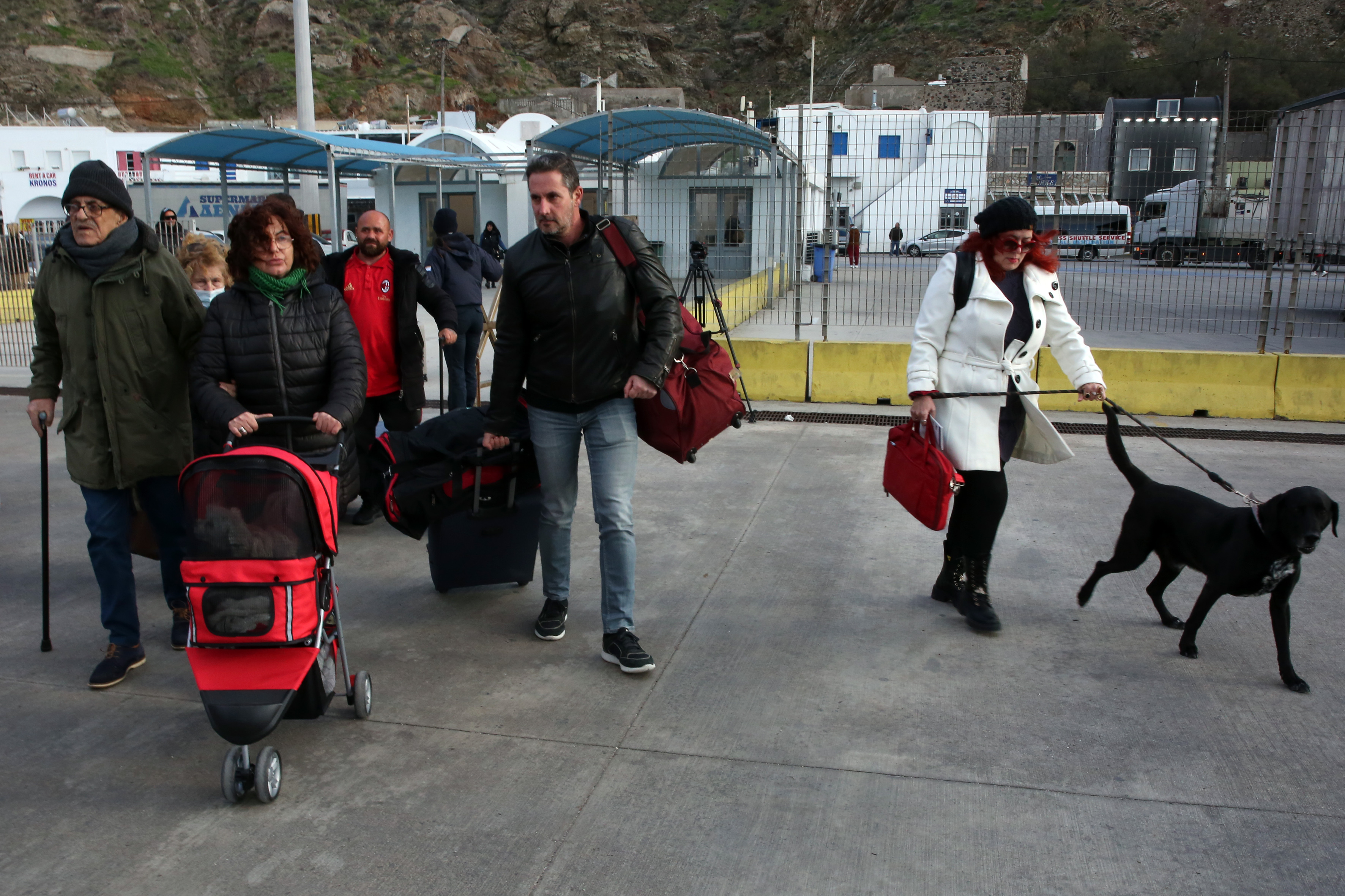
(Photos: ΑNA-MPA/Orestis Panagiotou)
See also:
Mayor of Anafi to ANA-MPA: 'The continuous tremors have started to tire us'
Army, Fire Brigade, and Police reinforce Santorini as seismic activity ιntensifies
Hellenic Red Cross dispatches rescue and support teams to Santorini amid ongoing earthquakes
State of emergency declared on Santorini due to earthquakes
Six earthquakes in the sea region between Amorgos and Santorini
ANA-MPA's photo reportage: Earthquakes in Santorini prompt evacuations, but a few visitors stay amid stunning views
Three new earthquakes in Amorgos